SensoMAP
Advanced Analysis Software
SensoMAP, based on Mountains technology from Digital Surf, is an extremely powerful tool for analysis and reporting. SensoMAP advanced analysis software is completely modularly adaptable to customer requirements. Two levels (standard and premium) and several modules are available.
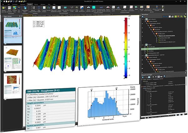
EASY TO USE
Extremely powerful report creation
Designed for use with the broadest range of research and industrial applications, SensoMAP Advanced Analysis software is the perfect surface imaging, analysis and metrology solution that is fully integrated with Sensofar 3D optical profilers. It includes:
IMAGING
Visualization of surface data using cutting-edge imaging technology and intelligent filters.
METROLOGY
Analytical studies in accordance with the very latest standards and methods.
REPORT CREATION
Creation of detailed, accurate multi-page surface analysis reports in a smart desktop publishing environment with powerful automation features to speed up analysis.
MEASUREMENT MODULES
Different tools and techniques for specific applications
Because there are almost unlimited applications, several optional add-on modules are available to suit your advanced analysis needs.
Contour
Basic geometric dimensioning & tolerancing of contour profiles and horizontal contours extracted from images.
Advanced contour
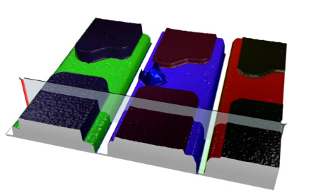
Advanced dimensioning and tolerancing, DXF CAD compare, Gothic arch.
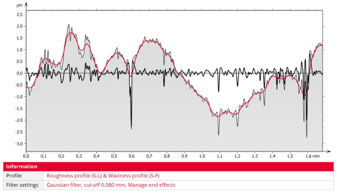
Advanced profile
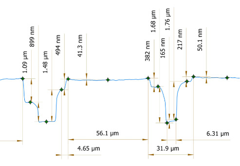
Advanced profile filtering, fractal and Fourier analysis, statistical analysis of series of profiles.
4D surface change
Analyze surface evolution with respect to time, temperature, magnetic field or another dimension.
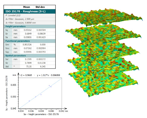
Advanced topography
Advanced studies, parameters & filters for 3D (“areal”) surface texture analysis.
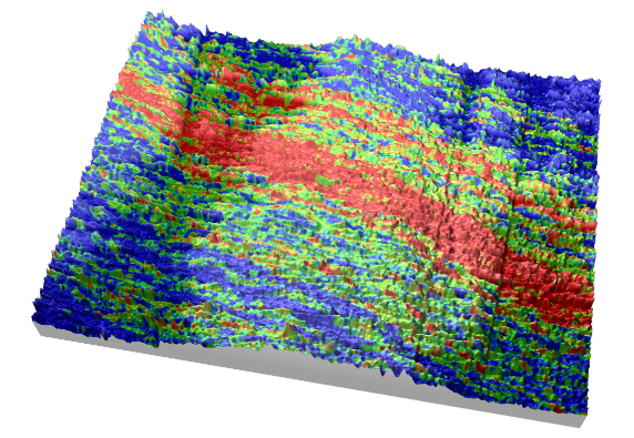
Automotive
Assess functional performance with a full set of 2D parameters developed by the automotive industry.
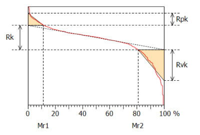
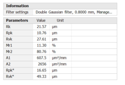
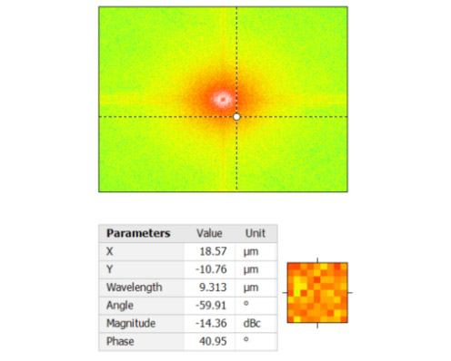
Fourier & Wavelets
FFT-based texture analysis, advanced FFT filtering, multi-scale analysis by wavelets.
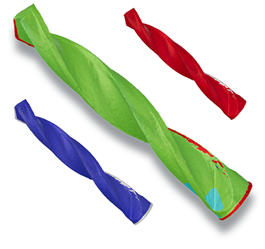
CAD shell compare
Efficiently and easily compare measured Shell data (actual) with CAD models (nominal) or generated meshes.
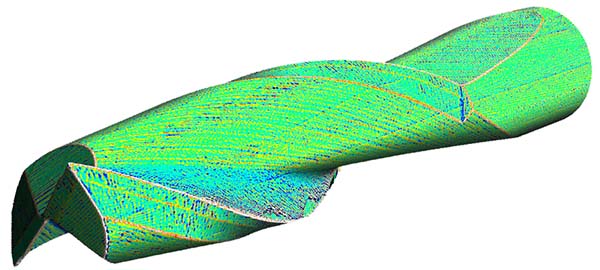
Shell extension
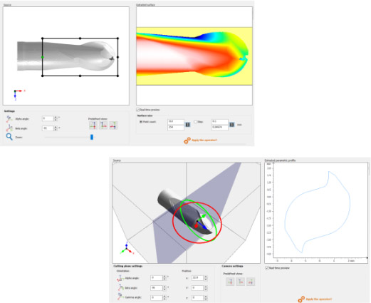
Visualize surface curvature and deviation on your 3D. Calculate freeform surface texture parameters: height, hybrid/spatial and volume. Plus shell topography capabilities.
Particle analysis
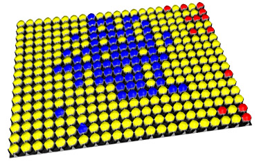
A comprehensive toolset for detecting and analyzing particles, pores, grains, islands etc. on structured surfaces.
Colocalization
Combine surface data obtained by imaging and metrology instruments of different types.
Scale-sensitive fractal analysis
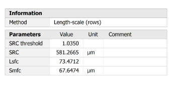
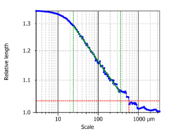
Implements a multi-scale analysis based on length-scale or area-scale analyses (formerly in Sfrax software).
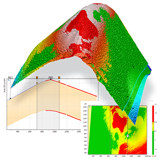
Thickness analysis
Global or zone-specific interactive thickness characterization based on a pair of surfaces or profiles.
Shell topography
Freeform surface management, complex shape analysis, high quality 3D visualization.
